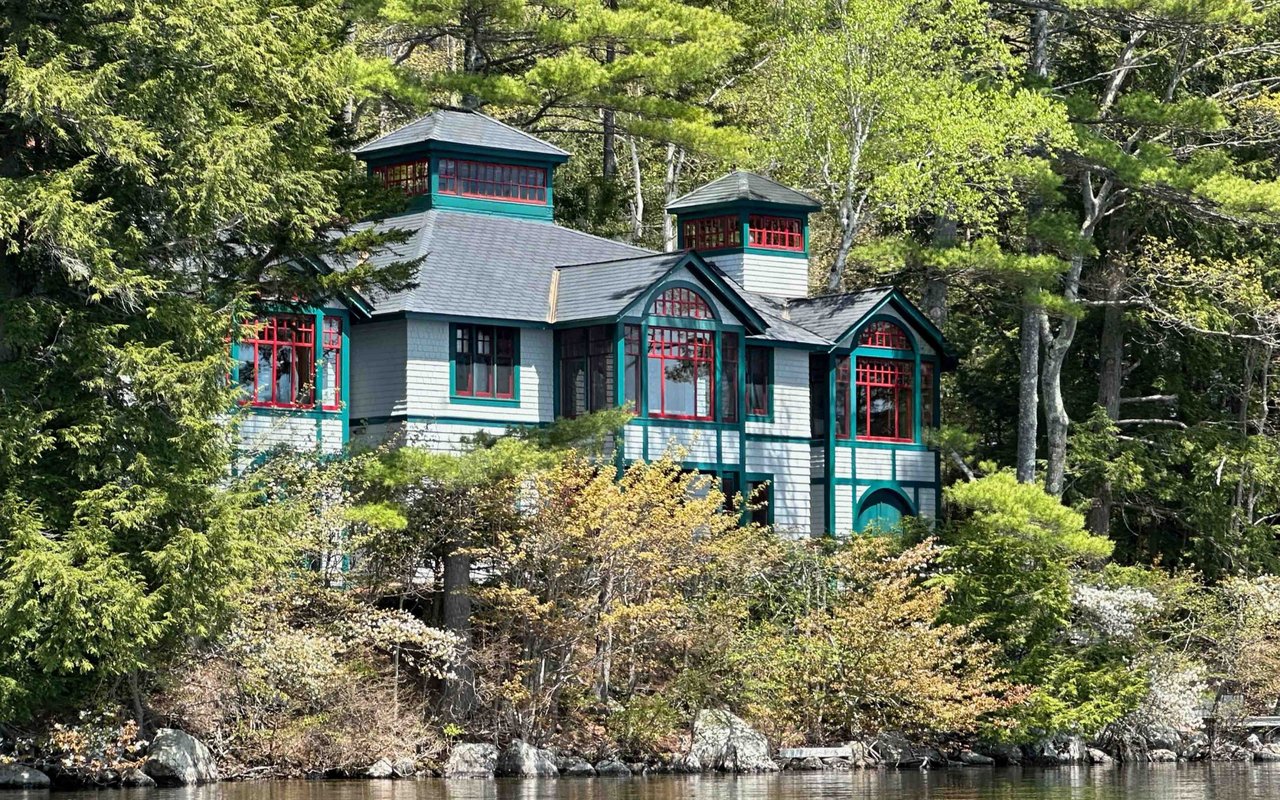
Where Pleasant Lake Flows Out, Elkins Still Runs On The Same Bend
October 1, 2026
October 1, 2026
Ask for directions to Skyeview Alpacas and the answer skips the street number. Head off Exit 11 toward Andover, turn onto Elkins Road, keep Pleasant Lake on the left, and the farm turns up a few houses past the dam. That's not a shortcut around an address. It's how people in this corner of New London have located themselves for close to two centuries, by the point where the lake stops being a lake and starts being a river.
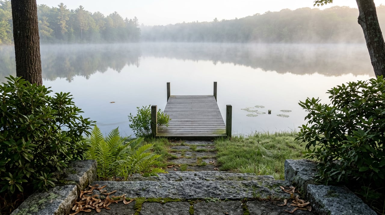
Elkins is not a town. It has no town hall, no zoning board, no line on a map that separates it from New London proper. It's an unincorporated village sitting at the eastern edge of Pleasant Lake, exactly where the water narrows and spills out toward the Blackwater River, which feeds the Contoocook, which eventually reaches the Merrimack. That single geographic fact, an outlet instead of open shoreline, is the reason a village exists here at all, and it's the reason the same handful of landmarks have clustered on this bend for going on two hundred years.
Before it was Elkins, this spot had a working name: Scythe Factory Village, or more casually, Scytheville. In 1835, Richard Messer, Joseph Phillips, and Anthony Colby built a scythe works here, using the lake's outflow to power the equipment that shaped the blades. For decades, this was an industrial address as much as a residential one. The water didn't just look pleasant. It ran machinery.
The factory closed in 1889, and the effect on the village was immediate. Within a year and a half, the population dropped from roughly 300 to 75. What remained shifted toward the water in a different way, from manufacturing power to recreation and tourism, a pivot that in some form has held for well over a century. In 1896, the village took the name it carries now, honoring Dr. John P. Elkins, a physician who had served the community from 1875 to 1888.
That history explains something a visitor might miss driving through: why a village this small has a post office, a church, a veterinarian's office, and an auto repair garage all within a short walk of each other, instead of spread along miles of shoreline the way camps and cottages are on the rest of Pleasant Lake. Those businesses aren't scattered by chance. They sit where the old workforce once lived, clustered around the same outlet that used to turn a wheel.
The scythe works is long gone, but the outlet itself never stopped being the thing this place organizes around. The Town of New London maintains a public status page for the Pleasant Lake Dam, tracking the structure through a monitoring system run by Canary Systems. It's a small, unglamorous piece of civic infrastructure, but it means this exact stretch of water has had sustained engineering attention for two straight centuries, first as a power source worth protecting, now as a structure worth watching.
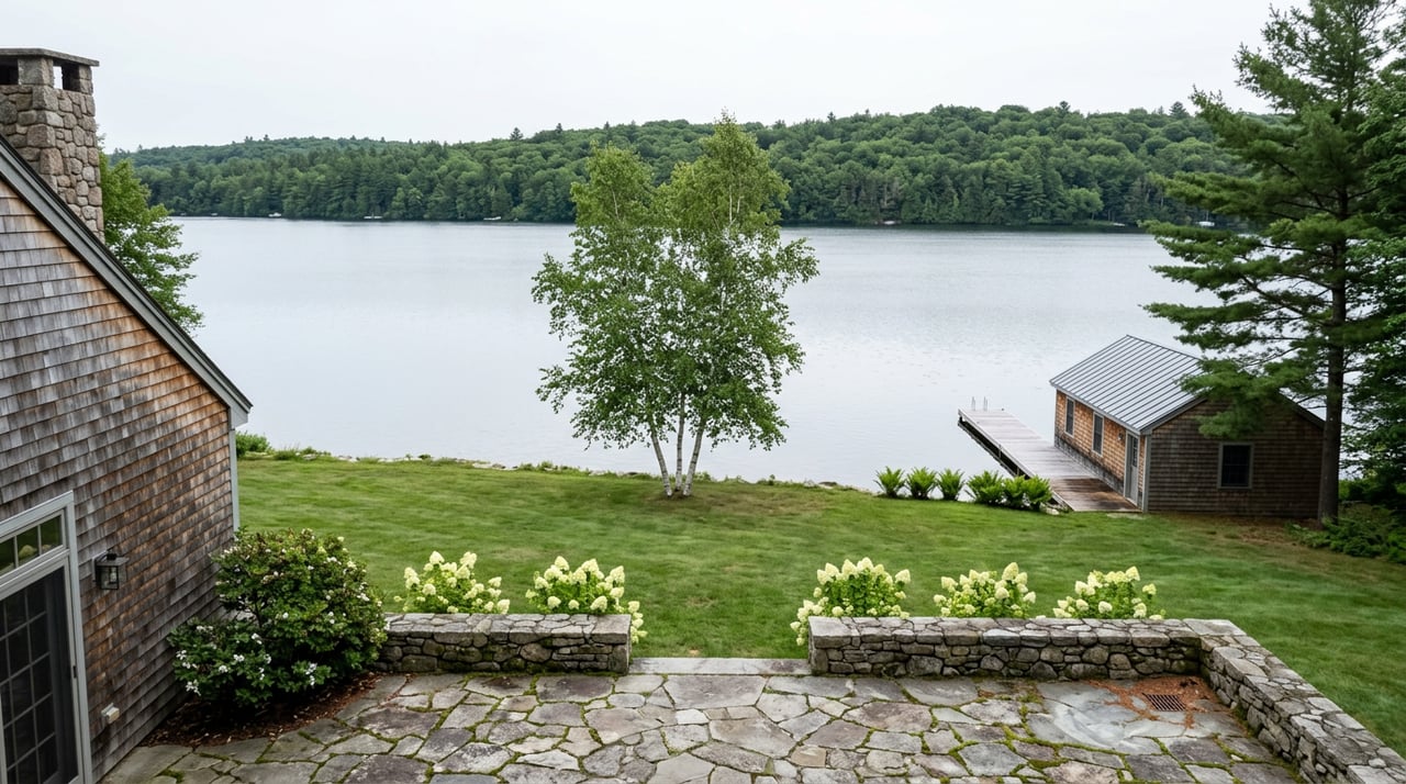
Elkins Beach, the town's public swimming spot on Pleasant Lake, sits near that same outlet, and it functions as the primary swimming location for residents, not a satellite beach tucked elsewhere on the lake. The public boat launch sits nearby too. None of this is spread out. It's stacked into one bend in the road, the same bend that once had to be near the dam because the machinery needed the water, and now happens to be near the dam because that's simply where the infrastructure already was.
Drive the short stretch through the village today and here's what you pass:
That's the entire working list. There's no strip of shops, no second commercial block a mile down the road. Everything that makes Elkins a place instead of a bend sits within sight of the water leaving the lake.
It would be easy to describe this as quaint and leave it there, but the layout isn't decorative. It's load-bearing. A scythe works needs to sit exactly where the water has enough drop to turn a wheel, and everything that grows up around a factory, the workers' houses, the store, eventually the post office, tends to grow up close to it rather than a mile away. When the factory closed, the buildings didn't relocate. The post office stayed roughly where the post office had always been. The bandstand went up near the hall, not off in a separate green. A century later, when a farmer wanted to start the state's first alpaca operation, she settled on Elkins Road, and her own driving directions still use the dam as the reference point, not because it's scenic, but because it's the fixed marker everyone in the village already understands.
This is what separates Elkins from the rest of Pleasant Lake's shoreline. Most of the lake's edge developed the way lake edges usually do, camp by camp, dock by dock, spread wherever the shoreline allowed. Elkins developed the way a mill village develops, around a single point of leverage. The lake gave up its water at one specific spot, and every structure that has mattered here since 1835 has taken its position relative to that spot, whether it needed the water's power or just needed to be near the buildings that already existed because of it.
The dam gauge on the town's website updates automatically now, tracking a water level that once told scythe workers whether the wheel would turn and now just tells a maintenance crew whether the spillway needs attention. Same water, same bend in the road, a completely different reason to keep watching it.
If you're curious what else sits in the quieter corners around Pleasant Lake, not just the listings on it, Pamela Perkins has spent a career learning which bends in this shoreline carry history and which ones just carry a view. Get in touch to talk about what you're looking for.
Discover additional insights, market perspectives, and curated real estate guidance.

With generational ties to Lake Sunapee and a record that defines the New Hampshire luxury market, Pam Perkins represents a level of knowledge, discretion, and performance that few can match. Her clients trust her not only because of what she’s sold — but because of what she knows.
Connect with New Hampshire’s Top Broker